Terrain

The Town of Barberton is located in the De Kaap valley
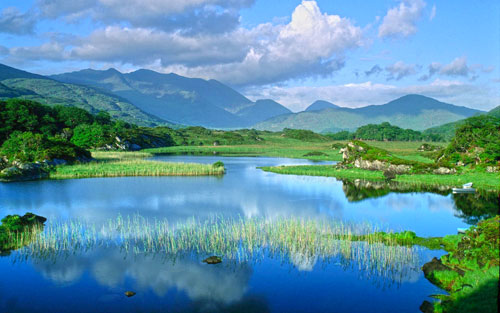
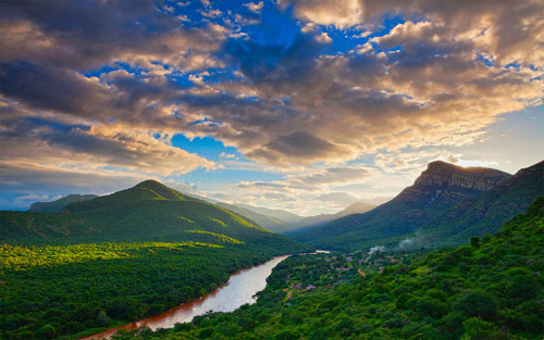
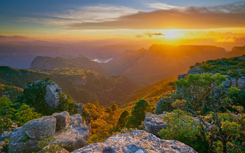
The valley consists mainly of Lowveld savannah with semi and sour bushveld, surrounded by low mountain ranges, the Magudu's, part of the Mpumalanga Drakensberg range, ranging from 900 to 1900m. The valley is traversed by 3 rivers. South, Northkaap and Queens, and in the Magudu's, the Lomati. Except for the latter they spring from the Highveld grassland sponge reservoir and drain into the two main river systems, the Crocodile and the Lomati. Numerous ecosystems and habitats evolve from the varying terrain, resulting in a great bio-diversity of fauna and flora. The Vertebrates, excluding the class Aves (birds) are made up of 20 orders, 5 sub orders and 60 families.
Climate
Sub Tropical. Temperate. September & October is spring. November to March is summer. April & May is autumn. June to August is Winter. Spring to Autumn temperatures are warm to hot. Day time: 25-32c. Mostly sunny days. Night time: 15-20c. Rains during the summer months. Average: 755 mm. Autumn to spring temperatures are moderate to warm. Day time: 18-26c. Mostly sunny days. Night time: 7-15c. Limited rain during Winter. Weather: Mostly mild except summer months during thunderstorm activity. Air quality is good. Limited pollution.